At a glance
- The trip booked here is the Guided Off-Road Volcano Buggy Tour, from US$173, rated 4.67 from 5,246 reviews.[1]
- The Timanfaya eruption lasted six years and covered 23% of Lanzarote in fresh lava and spatter.[2]
- In La Geria, vines are grown in pits dug in volcanic ash, a centuries-old technique that uses the exceptional properties of volcanic ash.[3]
- Lanzarote has a warm climate throughout the entire year, with an average annual temperature of about 21C.[4]
- To drive a buggy on this tour, drivers need to be 20 or older, with a driving licence held for two years or more.[5]
- Top choice Off-Road Volcano Buggy Tour from US$173 Duration2 - 3 hours[1]Rated4.67 from 5,246 reviews[1]Guide languagesCatalan, English, French, Spanish[1]CancellationCancel up to 24 hours in advance[1] Check availability
- Guided Can-Am Trail Buggy from US$196 Duration3 hours[6]Rated4.54 from 243 reviews[6]Guide languagesEnglish, Spanish[6]CancellationCancel up to 24 hours in advance[6] See this tour
- On-Road Guided Buggy Tour from US$207 Duration2.5 hours[7]Rated4.58 from 627 reviews[7]Guide languagesEnglish, Spanish[7]CancellationCancel up to 24 hours in advance[7] See this tour
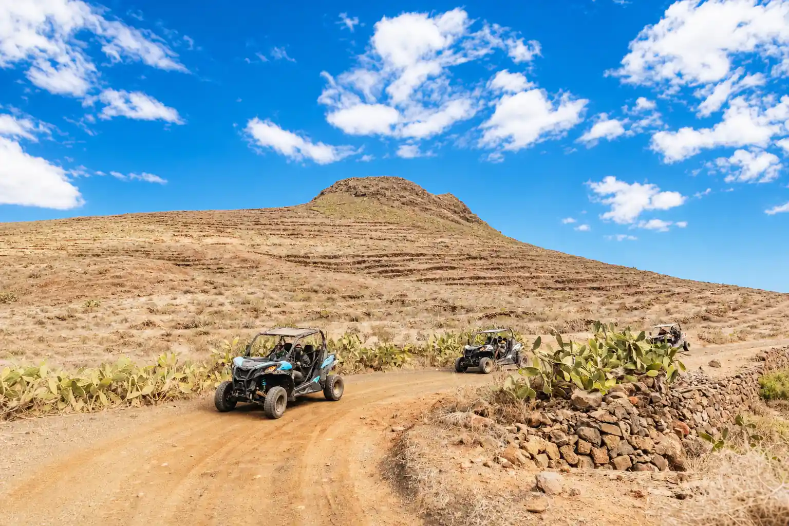
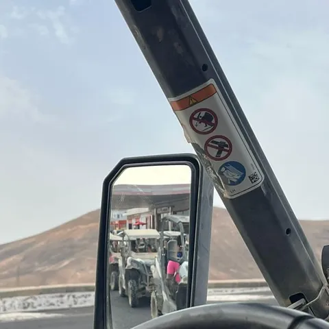
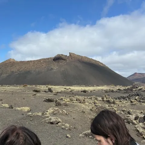
The Lanzarote Biosphere Reserve comprises the northernmost island of the Canary Archipelago, including the northern islets.
Is the volcano buggy tour worth it?
Booking the tour
The Eruptions That Reshaped the South
Drive south from any of the resorts and the island changes character. Green gives way to black. Loose stone walls appear along the road, fields flatten into a hard dark plain, and cones rise one behind the next. This is the malpais, the rough ground left behind when the island opened up. The Timanfaya eruption lasted six years and covered 23% of Lanzarote in fresh lava and spatter.[2] Centuries on, some of that ground is still bare and sharp underfoot.
What surprises people on the drive is how much is missing. No tall trees, no hedges, no fields in the usual sense. In their place: humps and hollows, channels where molten rock ran, and smooth sheets that look poured rather than built. Lanzarote history is written in this rock, in layers you can read from a moving vehicle. The oldest surfaces are worn down and colonised by lichen; the newest are still raw. A buggy covers the ground quickly, and you feel the texture of the surface through the seat long before you can name what you are looking at.
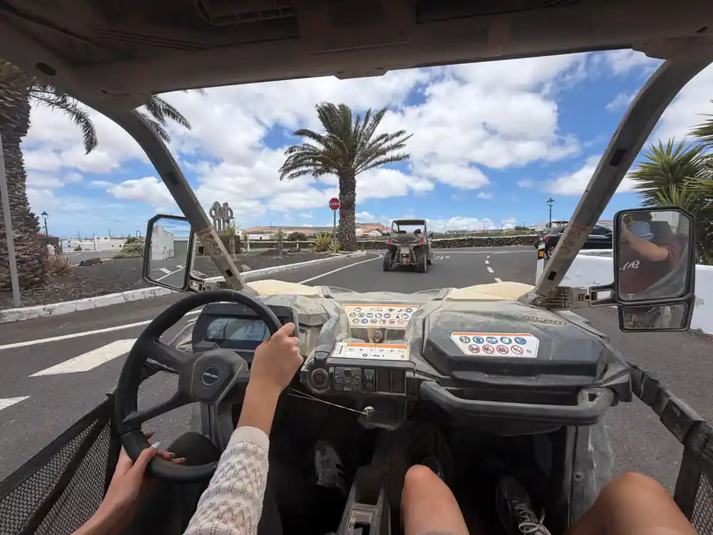
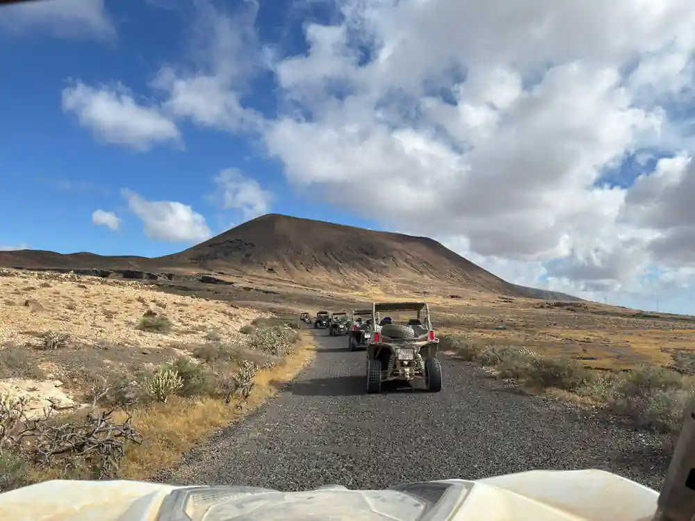
A guided drive takes the guesswork out of the route. The off-road buggy tour runs for 2 - 3 hours with a live guide, in groups limited to 10 participants, and pickup is available.[1]
Picon: The Black Volcanic Soil That Changed Farming
The ash that fell here did not only bury fields. It also gave farmers something to work with. Picon, the black granules of volcanic tephra, holds moisture in a dry climate and keeps the ground around it warm. Growers learned to spread it around their plants and to plant into it rather than fight it. In La Geria, vines are grown in pits dug in volcanic ash, a centuries-old technique that uses the exceptional properties of volcanic ash.[3] From the road it looks like a field of green stars, each one sitting in its own shallow bowl.
If you drive past those vineyards, watch the shape of the ground rather than the plants. Each pit is a small funnel, and many have a low crescent wall of stone on the windy side. The ash inside catches whatever moisture arrives and holds it close to the roots. The result is a working agricultural landscape built on unpromising ground, and it is one of the reasons this stretch of the island looks like nowhere else.
A word for the passenger with a camera: the pits are easy to mistake for holes in a flat field when you are moving. Look for the pattern instead, rows of them following the curve of the land. Guides who drive this area regularly know which stretches give the clearest view, and on the off-road tour the group is limited to 10 participants.[1]
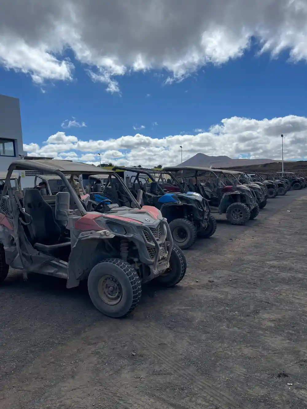
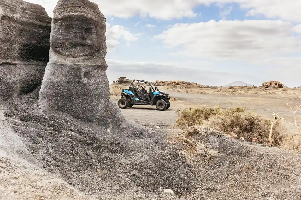
Black gravel, sharp ridges and cones: the ground a buggy crosses in southern Lanzarote.
The Ancient Famara Massif in the North
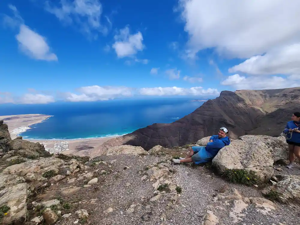
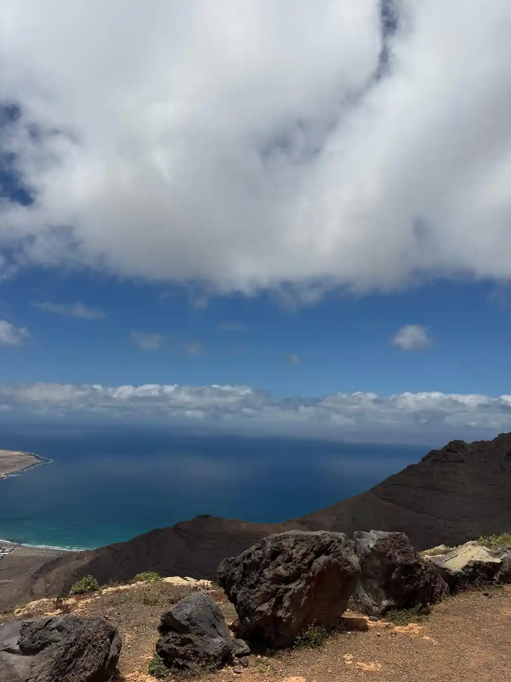
Not all of Lanzarote is young. The north-west corner is built around an older massif, a rugged ridge weathered into sharp crests and deep gullies. Walking up there feels different from the south: greener, cooler, with cloud sometimes caught on the tops while the coast below stays bright. The highest point is Penas del Chache, which stands 672 meters (about 2,205 feet) above the sea and is the tallest mountain on Lanzarote.[8]
The contrast matters when you plan a day out. A buggy tour and a hike in the Famara hills are two different experiences: one about covering rough volcanic ground at speed, the other about slow climbing and long views over the water. If you only have a short stay, look at a map before you commit. The island is small, but the north and the south do not look or feel alike, and the drive between them shows you the change happening.
Distances are short, which helps. From Puerto del Carmen, Lanzarote Airport is just 12 km away, and from Playa Blanca the airport is 33 km.[9][10] Basing yourself in one place still leaves both ends of the island within a day's reach.
La Corona and the Hidden Lava Tube
In the north there is a cone whose eruption left something unusual behind: a long tube beneath the surface where molten rock once flowed and then drained away. From above it is invisible. From the road you see a rough cone and a dark field of lava around it, and maybe a small opening where a collapse has broken the roof. Lava tubes form when the outside of a flow cools and hardens while the inside keeps running. They are among the most fragile features in a volcanic landscape.
Guides know where the safe entrances are and which sections are off limits, which is a good argument for going with someone rather than wandering. Underground, the temperature drops and the sound changes. You can often see a line on the wall marking how high the lava once reached. There is nothing theatrical about it: it is quiet, dark and cool, and it explains more about how the island was built than any viewpoint does.
If you are on a buggy tour, ask about the tube rather than expecting to walk it. The off-road tour is a driving experience on the surface, over tracks and lava ground, with a live guide and pickup available.[1] Some parts of the island are simply better visited on foot, and a lava tube is one of them.
from US$173
The Guided Off-Road Volcano Buggy Tour runs over lava fields in southern Lanzarote, rated 4.67 from 5,246 reviews.[1]
Why the Lava Fields Feel Like Another World
Nothing softens the outlines out on the lava fields. There is no grass, no leaf litter, no shadow from trees. What you get instead is fine black gravel, ridges of cooled rock, cones without a scrap of vegetation, and a palette of grey, black and rust. Photographs taken here can look like somewhere else entirely, even when the sea is a short walk away.
The trade winds add to the effect. Lanzarote sits where the wind blows steadily from the north-east all year round, though the speed varies from time to time.[11] Dust lifts, light shifts, and the surface seems to change colour as you cross it. On a buggy you notice this more than you would from behind glass, because you are low to the ground and moving with the wind rather than past it.
For the otherworldly photographs, look for a surface without tyre tracks and without a horizon line. One wide, empty field of black gravel with a single cone behind it does more work than a panorama. Late afternoon light is a good friend here, raking across the ridges and giving shape to ground that would otherwise look flat.
Why Plants Struggle in the Malpais
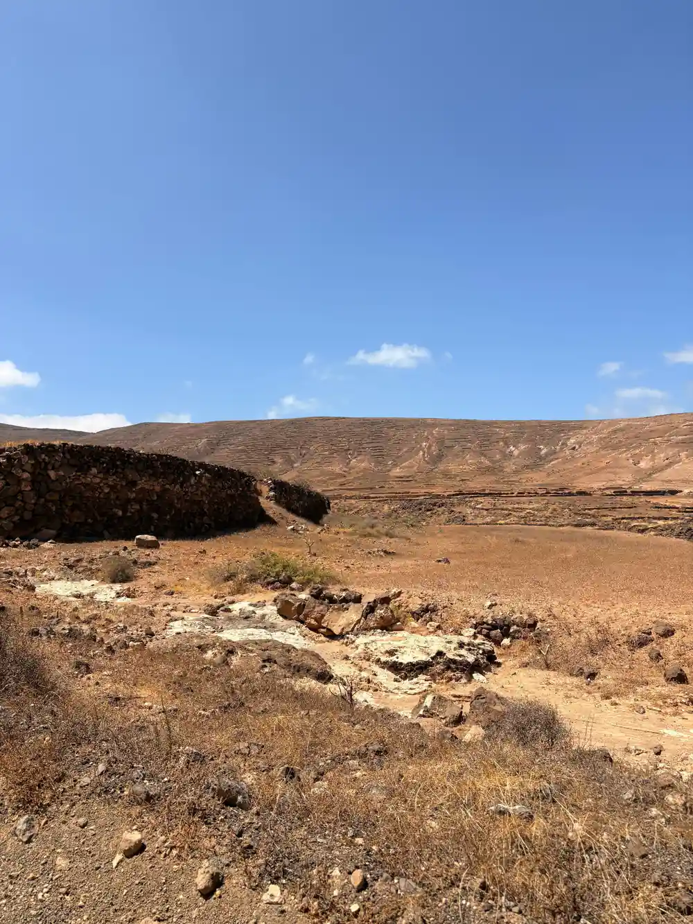
Fresh lava is a hard place to be a plant. The rock is sharp and full of holes, water drains through it, and there is barely any soil to hold on to. Seeds that land have to find a crack, wait for moisture, and survive wind that scours the surface and salt that blows in from the sea. Big stretches of the malpais still look empty, and the plants that do grow there are usually small, tough and close to the ground.
Where plants get a foothold, they slowly change the ground around them. Lichen and mosses break the surface down, dust collects in hollows, and a thin soil begins to form. It is a slow process on a young flow, and it happens in patches rather than evenly. From a moving buggy you can often see the difference between surfaces that have been exposed for a long time and surfaces that are still raw.
Good soil is scarce on the island, and every patch that holds moisture is worth working. The ash pits of La Geria are the clearest example of people turning difficult ground into a living, with vines grown in pits dug in volcanic ash using a centuries-old technique.[3]
The Mineral Colours: Red, Ochre and Green
Lanzarote is not only black. Iron-rich rock weathers to red and ochre, older ash can look pale gold, and a few places offer a colour that has nothing to do with lava at all. On the west coast, near Yaiza, the crater of an extinct volcano submerges into the Atlantic ocean and forms a lagoon known as the Charco de los Clicos (Green Lagoon), declared a Natural Reserve.[12]
Elsewhere the green comes from plants: the vines in their ash pits, scrub in a sheltered gully, the palm gardens of a village. The reds and ochres are minerals, and they show up best in flat evening light, when long shadows pick out the ridges instead of washing them out. Up close the colours are subtler than the photographs suggest, more like stained stone than paint.
For a sense of how these colours sit together, the south-west coast is worth an hour of your time. Los Hervideros is a stretch of dramatic black lava cliffs on the wild south-west coast, where the Atlantic surges into a labyrinth of sea caves and blowholes and appears to boil among the rocks.[13] Black rock, white spray and blue water make the minerals on the clifftop stand out even more.
Distances on Lanzarote
Distances as stated by the cruise port guide and the airport transfer pages.[9][10][14]
Buggy tours: from-prices in US dollars
All amounts are US dollar from-prices for the listings named here:[1][6][7][15] Child rates are not published on these listings, so the same from-price is shown in both columns.
When to go and when to book
Reading the volcanic ground
Start with the black
Grey-black gravel and ash cover much of the south. On the tour you feel it under the wheels for 2 - 3 hours.[1]
Find the older massif
In the north the ground turns green and steep. Penas del Chache tops out at 672 meters (about 2,205 feet).[8]
Watch for hollows
Round hollows in the ash are planted with vines in La Geria, dug into volcanic soil by hand over centuries.[3]
Look for colour shifts
Black, red, ochre and green sit side by side; the Green Lagoon near Yaiza is a Natural Reserve.[12]
See where plants cling
Plants appear in cracks and hollows where moisture collects, while the wind keeps the bare surfaces bare.[11]
Drive the fire mountains on a guided off-road buggy tour
from US$174Reserve now & pay later