At a glance
- A guided off-road buggy tour over volcanic ground, running 2 - 3 hours with starting times shown when you check availability.[1]
- Small group: limited to 10 participants, with a live tour guide working in Catalan, English, French and Spanish.[1]
- Drivers need to be 20 or older, with a driving licence held for two years or more.[2]
- Reserve now and pay later, with free cancellation up to 24 hours in advance for a full refund.[1]
- Peñas del Chache is the tallest mountain on Lanzarote, standing 672 meters (about 2,205 feet) above the sea.[3]
| Off-road volcano buggy | Can-Am trail buggy | On-road buggy | |
|---|---|---|---|
| From | from US$173[1] | from US$196[4] | from US$207[5] |
| Duration | 2 - 3 hours[1] | 3 hours[4] | 2.5 hours[5] |
| Rating | 4.67 from 5,246 reviews[1] | 4.54 from 243 reviews[4] | 4.58 from 627 reviews[5] |
| Guide languages | Catalan, English, French, Spanish[1] | Instructor: English, Spanish[4] | English, Spanish[5] |
| Cancellation | Free cancellation up to 24 hours[1] | Free cancellation up to 24 hours[4] | Free cancellation up to 24 hours[5] |
The Lanzarote Biosphere Reserve comprises the northernmost island of the Canary Archipelago, including the northern islets.
Is this the right buggy tour for the wild north?
Buggy tour essentials
How the guided buggy route works
The tour booked from this site is the Lanzarote: Guided Off-Road Volcano Buggy Tour, and it is a compact run through volcanic country rather than a marathon across the island. It lasts 2 - 3 hours, with starting times shown when you check availability.[1] Groups are limited to 10 participants, and a live tour guide works in Catalan, English, French and Spanish.[1] The listing is rated 4.67 from 5,246 reviews, with guide and transportation each scoring 4.7 and value for money 4.6.[1]
Reserve now and pay later, and free cancellation is available up to 24 hours in advance for a full refund.[1] Pickup is available, though the options are listed when you check availability, so it is worth looking early if you are staying away from the main resort areas.[1] Anyone taking the wheel must be at least 20 years old and must have held a valid driving licence for a minimum of two years.[2]
Pack for dust rather than for a comfortable car journey. A neck buff, sunglasses and a light windproof layer make the ride easier, and closed shoes beat sandals on loose volcanic gravel. Tie back long hair and zip away anything loose, because grit works its way into pockets, camera bags and every seam of your clothing.
The climb towards Peñas del Chache
Peñas del Chache is the tallest mountain on Lanzarote, standing 672 meters (about 2,205 feet) above the sea.[3] The approach is gradual rather than dramatic. Tarmac narrows into lanes between dry stone walls and terraced fields, then the surface turns to track and the ground opens out into bare, dark slopes where the wind carries dust and salt. It is worth looking back as you climb, because the shape of the coast changes with every bend in the road.
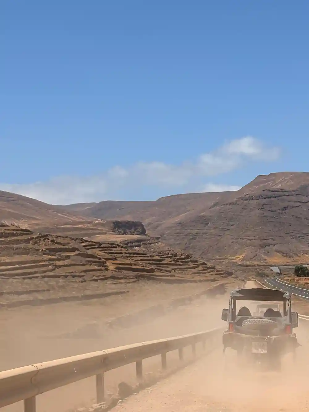
Up here the island reads like a stack of old lava platforms. Each ridge is a flow that cooled long ago, and between them sit small pockets of cultivated ground, white villages and the odd palm. The upper slopes are almost bare, which is exactly why the view opens so suddenly when you reach the high ground. There is little shade on those ridges, and the surface under the wheels is often loose, so the pace tends to stay gentle and the stops come often.
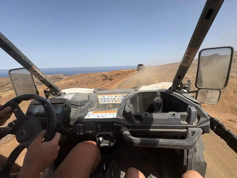
Dust, lava and a huge sky on the northern buggy tracks.
Views from Lanzarote's highest ground
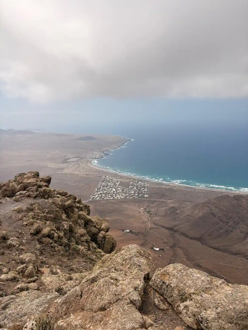
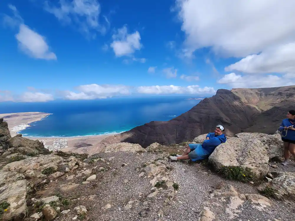
From the top of the climb the whole north spreads out: the long cliff wall of Famara, the flat farmland behind it, the Atlantic and, on a clear day, the smaller islands off the coast. Lanzarote is listed as a Biosphere Reserve under UNESCO's Man and the Biosphere Programme, comprising the northernmost island of the Canary Archipelago and the northern islets.[8] Lanzarote sits near Africa, and the light on this coast has a dry, bright quality that makes the distances look bigger than they are.
Lanzarote sits in the area of the trade winds, where the wind blows steadily from the north-east all year round, though its speed varies.[9] On the exposed ridges that breeze is part of the experience, so a windproof layer earns its place in your bag even on a warm day. Lanzarote has a warm climate throughout the entire year, with an average annual temperature of about 21ºC.[7]
The Famara cliffs from the buggy track
The Famara cliff wall is the great backdrop of the north, a long rampart of rock that drops towards a wide, pale beach. From the track above, the scale is what stays with you: tiny cars on the coast road, the curve of the bay, white lines of surf folding across the sand. Guides usually pause where the view is widest, and the light shifts through the day as cloud moves across the tops.
Below the cliffs the fields are patchworked with stone walls and low windbreaks, and the road towards Lanzarote's Órzola harbour at the northern tip runs along the flats. On the water, kitesurfers cluster where the breeze funnels between the headlands. It is one of those views that keeps changing as you move, so keep the camera within reach and shoot between the bumps of the track.
from US$173
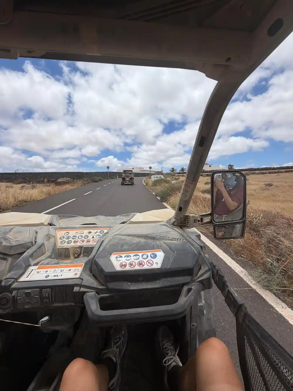
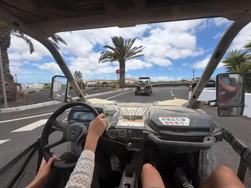
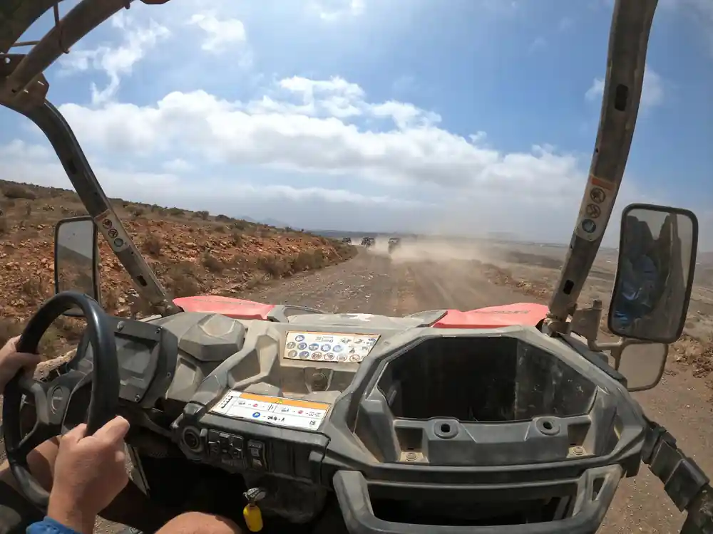
Off-road buggy tour over Lanzarote's volcanic ground, with a guide leading the way and big views of the wild north.
Malpaís lava terrain up close
Lava country on Lanzarote is not one thing. The Timanfaya eruption lasted six years and covered 23% of Lanzarote in fresh lava and spatter.[10] The malpaís you cross on a northern route is older ground, weathered into sharper clinker and rougher blocks, with lichen and low scrub finding a hold in the cracks. Up close it looks like broken glass and rubble; from a distance it looks like a sea that stopped moving.
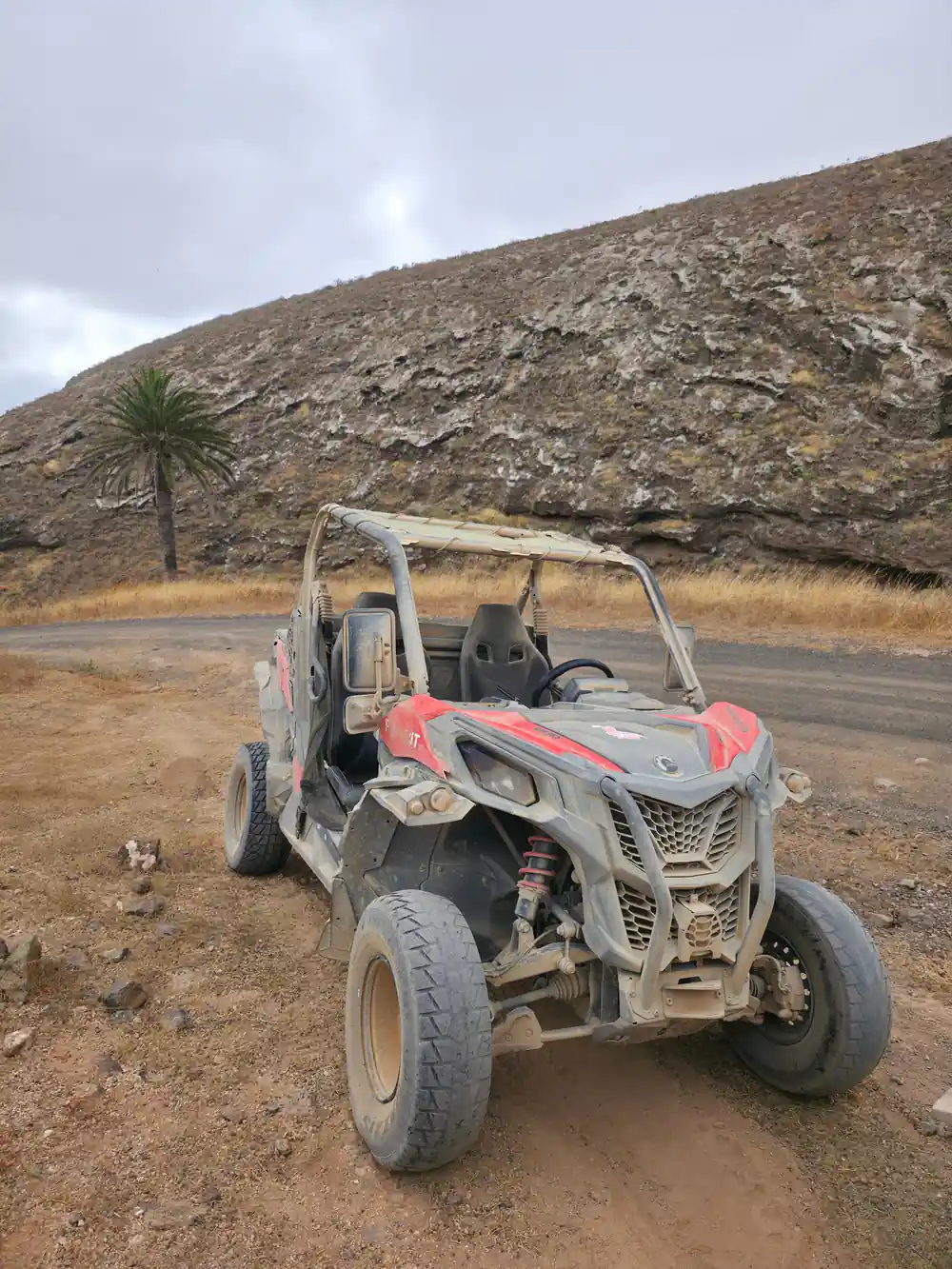
Buggies are built for exactly this surface. The Can-Am Maverick X3 DS, for example, is a two-seat side-by-side vehicle whose engine delivers from 135 hp to 200 hp.[11] If you want a different feel under the wheels, other operators run similar ground: the Guided Can-Am Trail Buggy Tour is from US$196 and is rated 4.54 from 243 reviews[4], while the On-Road Guided Buggy Volcano Tour stays on tarmac and is from US$207, rated 4.58 from 627 reviews.[5]
Why the north of Lanzarote feels greener
Drive north and the colour changes. Palm groves, fig trees, maize patches and small holdings appear in the hollows, sheltered behind stone walls, and the villages along the way feel lived in rather than built for visitors. Along the lanes you pass small plots, aloe plants and the occasional roadside stall. It is a softer landscape than the black lava fields of the south-west, with white walls, green doors and gardens tucked away behind low stone.
The island's wine country works the opposite way. La Geria is known for its unique volcanic vineyard landscape where vines are grown in pits dug in volcanic ash, a centuries-old technique that uses the exceptional properties of volcanic ash.[12] Seen from the road, the pattern of green circles on black ground is one of the island's strangest and most photogenic sights.
Photo stops and coastal lookouts
On a buggy you shoot in snatches: a cone in the wing mirror, dust hanging in the sun, a stretch of coast through a gap in the ridge. Keep the camera in a padded bag and wipe the lens often, because fine ash settles on everything. A short lens is usually enough, since the landscape here is wide rather than close. The best light comes early and late, and you will come home with the kind of Lanzarote images that do not need a filter.
Further round the island there are two coastal stops worth a separate drive. Los Hervideros is a stretch of dramatic black lava cliffs on Lanzarote's wild south-west coast, where the Atlantic surges into a labyrinth of sea caves and blowholes and appears to boil among the rocks.[13] The El Golfo green lagoon, known as Charco de los Clicos or Green Lagoon, is a Natural Reserve formed where an extinct volcano crater on Lanzarote's west coast near Yaiza submerges into the Atlantic.[14] Neither is on the northern buggy ground, but both round out a week of volcanic scenery.
How four Lanzarote buggy tours are rated
Ratings as published on GetYourGuide for these four Lanzarote buggy listings.[1][4][5][15]
Buggy tours compared by from price
From prices in US dollars for these GetYourGuide listings.[1][4][5][15]
When to book your buggy day
Plan your buggy day out
Choose a slot
Check availability for starting times, then book with reserve now and pay later.[1]
Check the driver rules
The driver must be at least 20 years old and must have held a valid driving licence for a minimum of two years.[2]
Sort out pickup
Pickup is available, and the options are shown when you check availability.[1]
Dress for dust
Closed shoes, sunglasses and a windproof layer. Zip pockets shut and tie back long hair before you set off.
Build the rest of the day
The ride is short, so leave room for the northern viewpoints, a long lunch and the drive back along the coast.
Take the wheel over Lanzarote's volcanic north
from US$174Reserve now & pay later