At a glance
- Teguise sits inland above the coast, with cobbled lanes, a church tower and a hilltop fortress looking out to sea.
- Haría sits in a sheltered bowl in the north, where Canary palms crowd the valley floor, and trade winds blow steadily from the north-east all year.[1]
- Lanzarote Airport is 12 km from Puerto del Carmen and 33 km from Playa Blanca; a car makes the northern villages and miradores easy.[2][3]
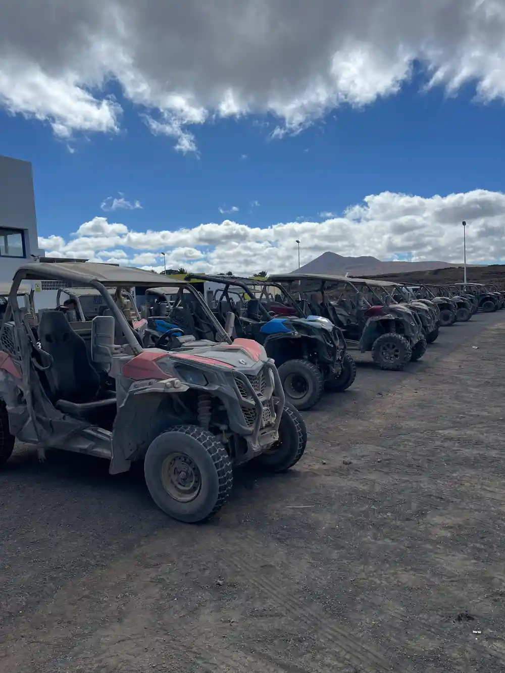
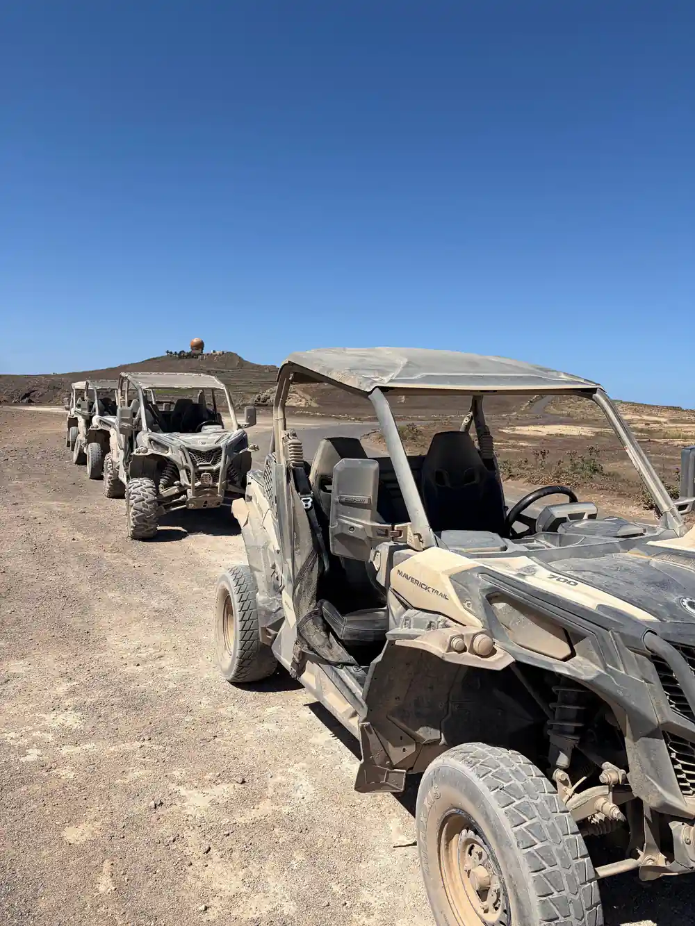
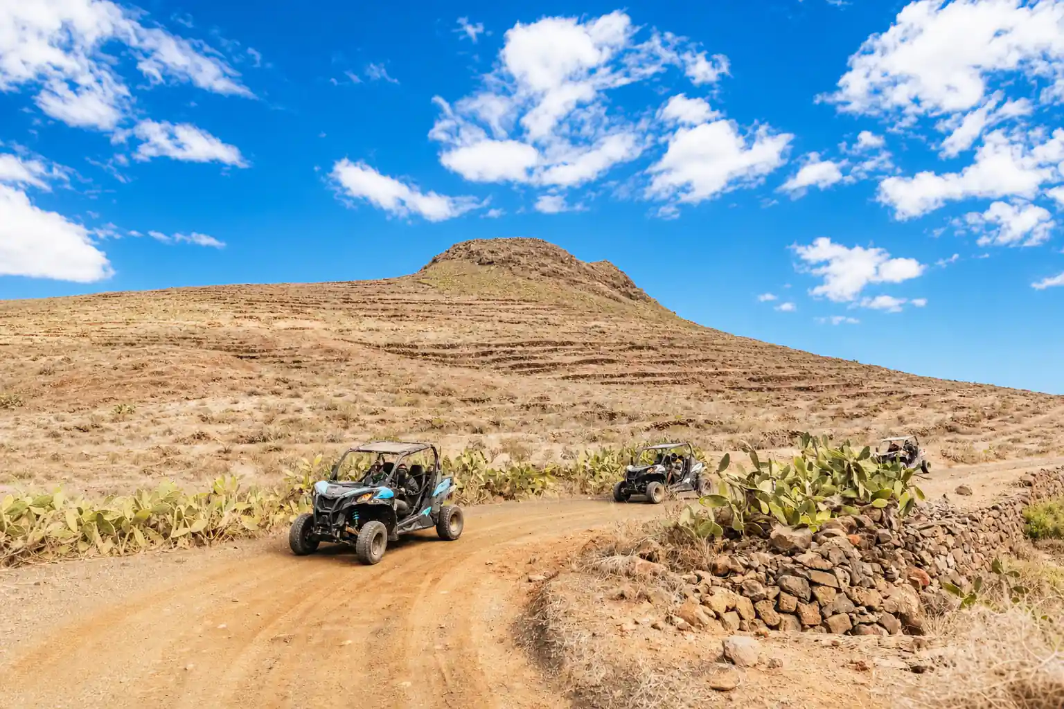
- The guided off-road volcano buggy tour runs 2 to 3 hours, is rated 4.67 from 5,246 reviews and starts from US$173.[4]
- To drive a buggy on this tour you must be at least 20 years old and have held a valid driving licence for a minimum of two years.[5]
- Top choice Off-Road Volcano Buggy Tour from US$173 Duration2 to 3 hours[4]Rating4.67 from 5,246 reviews[4]LanguagesCatalan, English, French, Spanish[4]CancellationFree cancellation up to 24 hours[4] Check availability
- Can-Am Trail Buggy Tour from US$196 Duration3 hours[6]Rating4.54 from 243 reviews[6]LanguagesEnglish, Spanish[6]CancellationFree cancellation up to 24 hours[6] See this tour
- On-Road Buggy Volcano Tour from US$207 Duration2.5 hours[7]Rating4.58 from 627 reviews[7]LanguagesEnglish, Spanish[7]CancellationFree cancellation up to 24 hours[7] See this tour
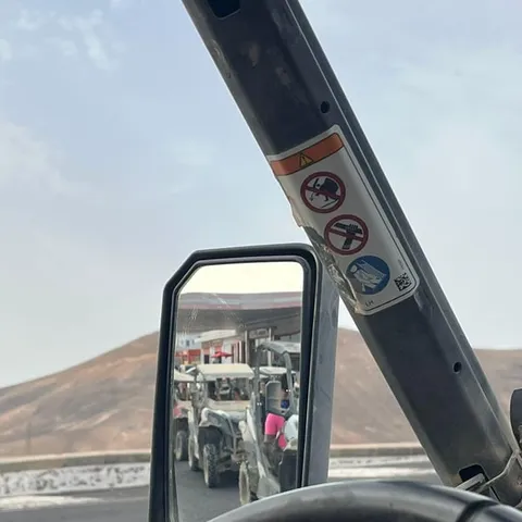
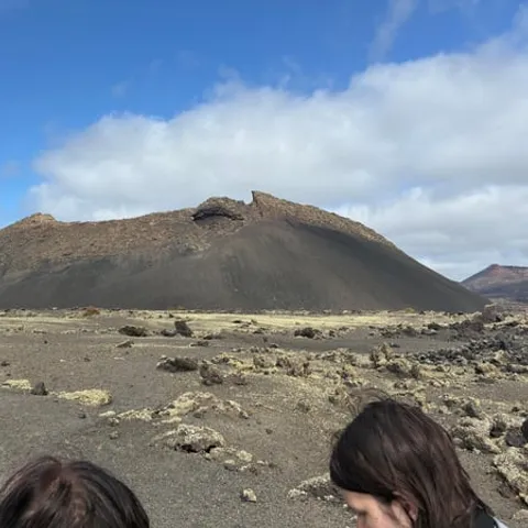
Lanzarote is situated to the the north (above) the equator and we sit directly in the area where the wind is blowing steadily from the north east. This wind blows all year around, although the speed varies from time to time.
Build a full day around the north
Read before booking
On the day
- A car or transfer helps in the north: the airport is 12 km from Puerto del Carmen.[2]
- A warm climate all year, with an average annual temperature of about 21ºC.[9]
- Steady north-east trade winds blow all year, and a light windproof layer is useful on exposed ground.[1]
- Allow 2 to 3 hours for the buggy tour, plus travel to the meeting point.[4]
Teguise, the old capital of Lanzarote
Teguise sits up in the hills a short drive inland from the coast, and it feels like another island after the resort strips. The streets are cobbled, the houses whitewashed, the church tower pale against the sky, and on a quiet morning the only sounds are a broom, a dog and the palms moving. The name confuses people: Costa Teguise is the resort on the shore, and the Costa Teguise old town that visitors picture is Teguise itself, up here in the hills. Park on the edge and walk in, because the centre is small enough to cross on foot.
Teguise was where Lanzarote's affairs were run for a long stretch of its history, and it still feels like a town rather than a village: a proper square, a church, merchants' houses with carved doors, and lanes laid out long before anyone thought about visitors. Lanzarote is listed as a Biosphere Reserve under UNESCO's Man and the Biosphere Programme, and the reserve comprises the northernmost island of the Canary Archipelago, including the northern islets.[10] The villages of the north keep to a low, white, uncrowded style that sits easily in a protected landscape.
Corsair raids and the burning of Teguise
The old town was worth raiding, and it was raided. In the centuries when corsairs from North Africa and privateers from further north worked the Atlantic, Teguise was attacked, burned and rebuilt, and the people here learned to keep watch. Walk up to the fortress on the hill above the town and the view runs over the roofs, out across the plain and down to the sea, where a sail on the horizon would have been news long before it arrived.
The raids shaped how the town grew. Houses crowd together, the church sits behind heavy doors, and the whole settlement reads as somewhere that once had to look after itself. Today the same lanes hold craft shops, small restaurants and guesthouses, and the mood is gentle rather than defensive. Come early or late; the middle of the day belongs to the coach parties, and the white walls look flatter in the hard overhead light. Above the town the ground rises to the rim of an old crater, and the paths out of the square give you a short climb and a long view.
Canary palms fill the floor of the Haría valley, with white houses and dark volcanic ridges all around.
The Valley of a Thousand Palms
North of Teguise the road crosses a dark plain of volcanic lapilli, passes low white walls and then drops into Haría, where the valley floor is packed with Canary palms. They are tall, slow-growing and dark-trunked, and they stand in a bowl that shelters them from the worst of the wind. The result is one of the greenest corners of an island that many visitors expect to be brown and black. Stop at a mirador above the town for the classic view, then drive down into the village itself.
César Manrique, the Lanzarote artist whose ideas shaped much of the island's modern look, is closely associated with this valley, and the north still builds in the spirit of his example: low, white, plain and careful about the skyline. The climate helps. Lanzarote has a warm climate throughout the entire year, with an average annual temperature of about 21ºC.[9] It also sits in the trade winds, which blow steadily from the north-east all year round, though the speed varies.[1] The palms like the combination, and so do walkers out on the quiet lanes.
César Manrique and the architecture of the north
Manrique's approach is easy to recognise once you start looking: white render, dark timber, volcanic stone left as it is, and buildings that crouch into the landscape rather than tower over it. In the northern villages that means green or blue shutters, low rooflines, thick walls and terraces that turn towards the sun and away from the wind. Nothing shouts, and nothing is allowed to break the line of the horizon. You will see it in the way a garage, a shop and a house all agree to stay low and plain.
You do not need a ticket to see it. Driving between Teguise, Haría and the coast, the older houses show the same grammar of small windows, deep doorways and courtyards. If you want the volcanic landscape at speed as well, the guided off-road volcano buggy tour runs for 2 to 3 hours and is rated 4.67 from 5,246 reviews, with pickup available and options shown when you check availability.[4]
from US$173
The guided off-road volcano buggy tour runs 2 to 3 hours and is rated 4.67 from 5,246 reviews.[4]
Famara: from fishing village to surf beach
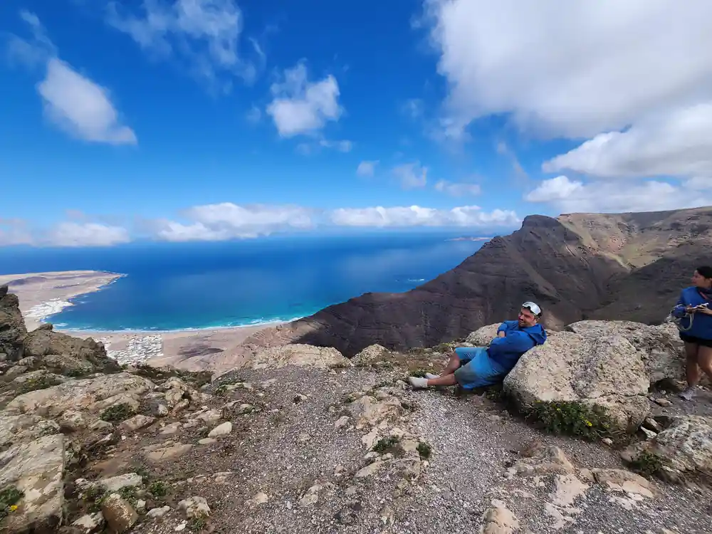
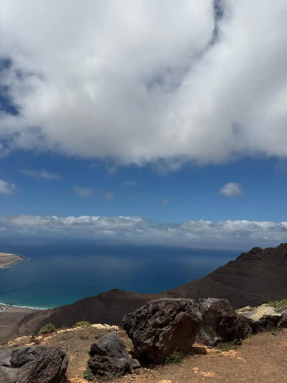
The road from Teguise down to the coast ends at Caleta de Famara, a low village of white houses and fishing boats at the foot of a long wall of cliffs. The beach is wide, open and exposed, backed by the Risco de Famara, and the late afternoon light there is worth the drive on its own. Above the cliffs the land rises to Peñas del Chache, the tallest mountain on Lanzarote, which stands 672 meters (about 2,205 feet) above the sea.[11] Bring a windproof layer; the breeze that keeps the surfers happy can make a picnic a short affair.
Surfing came here long after the fishing did, and the village now has schools, board hire and cafés that open early for the dawn session. If you are learning, take a lesson rather than a borrowed board, check the tide and the swell with people who know the beach, and swim where the locals swim. The Atlantic here is powerful and cold enough to be a shock, and it deserves respect. Afterwards, eat fish in the village while the light goes.
The barrancos and the island's volcanic geology
The north is cut by barrancos, dry ravines that run from the cliffs down towards the sea. For most of the year they are stone channels with a trickle or nothing in them at all, and then, after heavy rain, they carry water fast enough to shift rock and gravel. That is the work that shaped these valleys over a very long time, and the villages sit above the channel rather than in it.
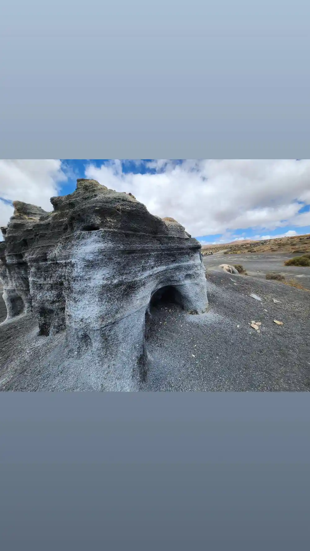
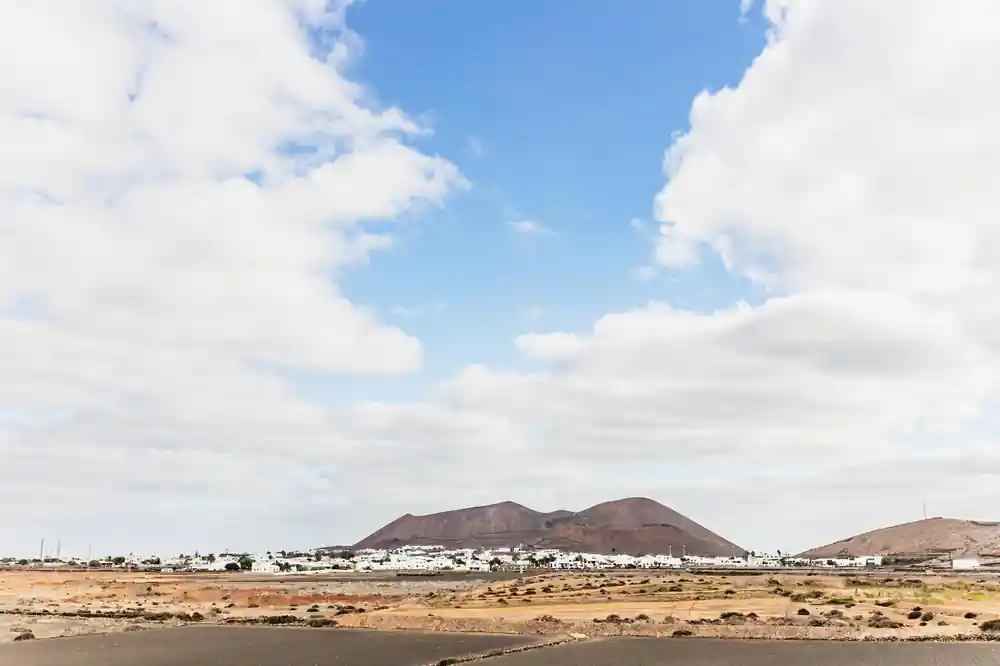
The rest of the story is volcanic and much younger. The Timanfaya eruption lasted six years and covered 23% of Lanzarote in fresh lava and spatter.[12] Further south, in La Geria, vines are grown in pits dug in volcanic ash, a centuries-old technique that takes advantage of the exceptional properties of volcanic ash.[13] Drive north from that lava country and the ground turns greener and older, and the two ends of the island feel like different places.
Crafts and traditions of the north
Small workshops in the north still make things the slow way: pottery, weaving, aloe products, goat's cheese and the mojo sauces that turn up on every table. Village markets are part shopping trip and part social occasion, and much of what is sold comes from within a short drive of the stall. Look for stalls selling cheese, honey and wine from the island, and ask who made what. Buy something small and edible, or something you will actually use at home, and you will remember the trip every time you reach for it.
Farming here is an act of stubbornness. Vines grow in hollows scooped out of ash, figs and prickly pears hold the windbreaks together, and goats do well on ground no tractor would want. Lanzarote receives just over 3 million tourists per year who come here on holiday and a further 500,000 visitors who arrive for the day on cruise ships.[14] The north absorbs all of that quietly: go on a weekday morning and you may have the palm valley almost to yourself.
Getting across Lanzarote: road distances
Road distances from Lanzarote Airport (ACE), Playa Blanca and the Arrecife cruise berth.[2][3][15]
Buggy tour prices compared
From-prices in US dollars for each of these tour listings.[4][6][7][16]
When to plan each part of the trip
Plan your northern day
Start in Teguise
Park on the edge of the old town and walk in; the lanes are short, so a couple of hours covers the square, the church and a coffee.
Climb to the fortress
The walk up to the castle above Teguise is short and steep, and the view over the roofs and out to sea sets up the rest of the day.
Drive to Haría
Take the road north over the lava plain and drop into the palm valley; stop at a mirador on the way down for the wide view.
Loop out to Famara
Follow the coast road to Caleta de Famara, where the beach runs beneath the cliffs. Wind is normal here, so take a layer.
Book the buggy tour
The guided off-road volcano buggy tour runs 2 to 3 hours, from US$173, with free cancellation up to 24 hours in advance.[4]
Book the guided off-road volcano buggy tour
from US$174Reserve now & pay later